ESA Schoolatlas Case Studies
This Digital Atlas provides students and teachers with a selection of case studies highlighting the use of satellite data. The case studies can be accessed via the globe, the gallery below or the menu above. Find information about the use of the Digital Atlas in the classroom in the menu „About this Atlas“.
Select case studies from the 3D globe or from the gallery below!
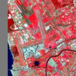
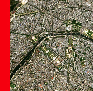 Anthroposphere |
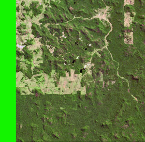 Biosphere |
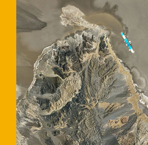 Lithosphere |
 Cryosphere |
 Hydrosphere |
 Atmosphere |
 Climate |
 Earth Observation Methods |
|
|
|
|
|
|

|
|

|
|
|
|
|
|

|
|