
Copernicus Browser
The European Space Agency’s (ESA) Copernicus Browser is an important tool used in the case studies provided by this Atlas. It is accessible via
The Copernicus Browser is a powerful tool providing access to a huge array of earth observation data. This platform allows users to explore, visualise and analyse images from various ESA missions and other satellite sources.
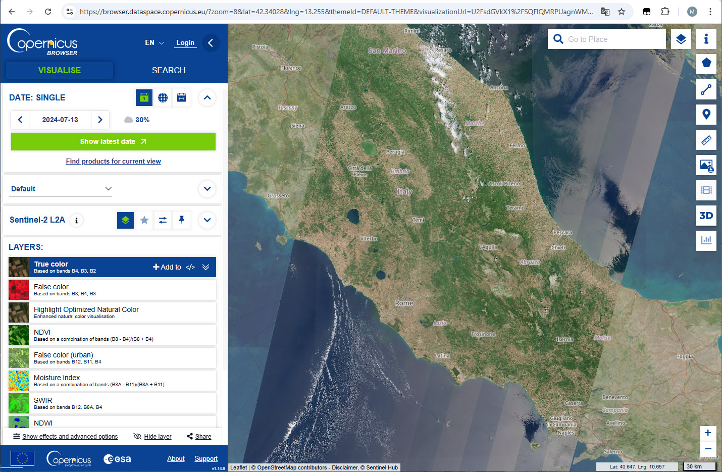
Overview of important functions
- Multi-source image access: The Copernicus Browser’s multi-source image access allows users to search for and to access images from multiple satellites from the Sentinel series and other datasets derived in the Copernicus context. This large range of sources ensures comprehensive coverage and up-to-date information for any region of interest.
- Image comparison: The Copernicus Browser allows users to compare search results, providing an easy-to-use tool to check the quality of the data and its usefulness for a given purpose. Moreover, this tool allows to make first assessments of changes in the region of interest.
- Data filtering: The data filtering capability allows users to refine their searches based on specific criteria such as date range, cloud cover percentage, and satellite source. This ensures that the data retrieved is relevant and useful for the user’s needs.
- Visualisation: The Copernicus Browser offers customisable visualisations. Users can apply various spectral indices, such as NDVI for vegetation health or NDWI for water bodies, to highlight specific features in the satellite images. Visualisations can be tailored to suit different needs or to emphasise particular aspects of the data.
- Download and share: The platform supports download and sharing options, enabling users to export images and data for offline analysis or to share findings with colleagues. This functionality facilitates collaboration, making the Copernicus Browser a valuable tool for a wide range of applications.
Note: for some of the more advanced functions of Copernicus Browser (e.g. high-quality data download) it is necessary to register and to login.
Manuals and Tutorials
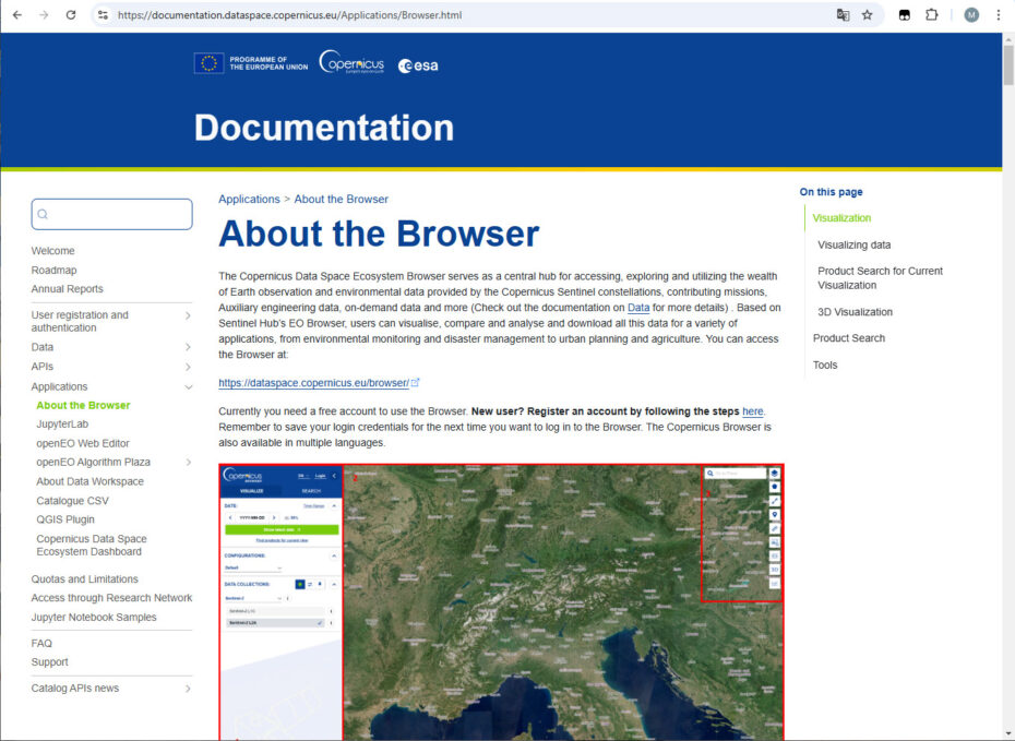
Several sources are available describing the use of Copernicus Browser, including online material, PDF documents and Youtube videos. A very general introduction is provided via the Copernicus Browser website:
https://documentation.dataspace.copernicus.eu/Applications/Browser.html
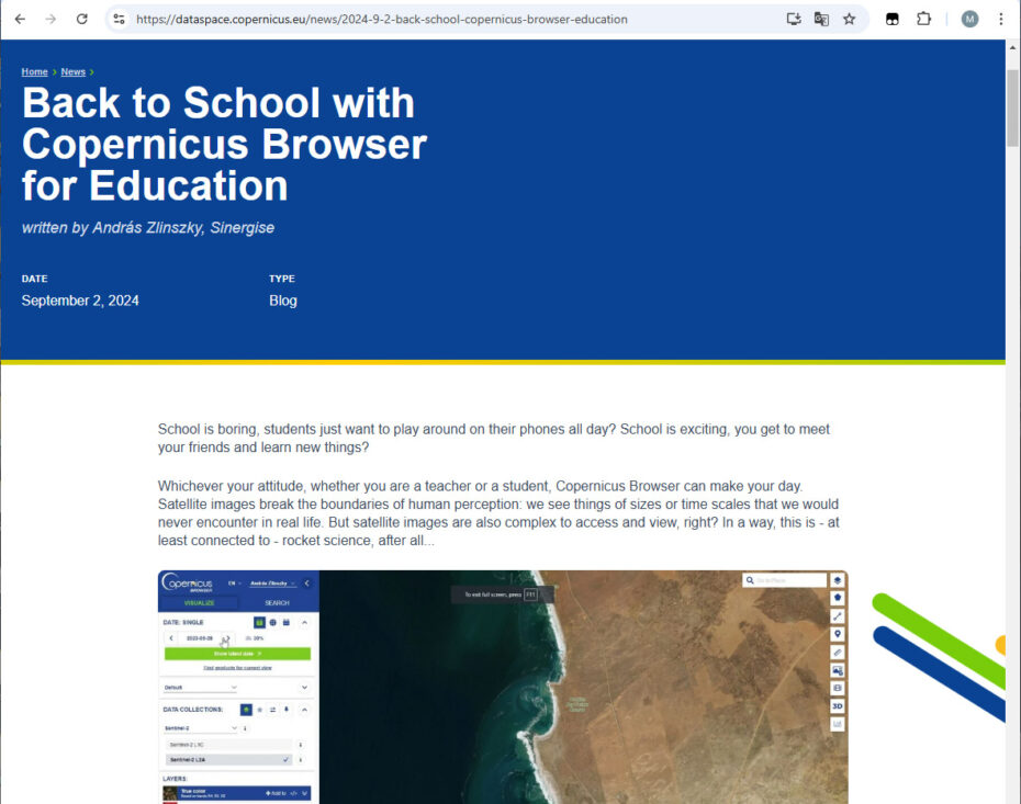
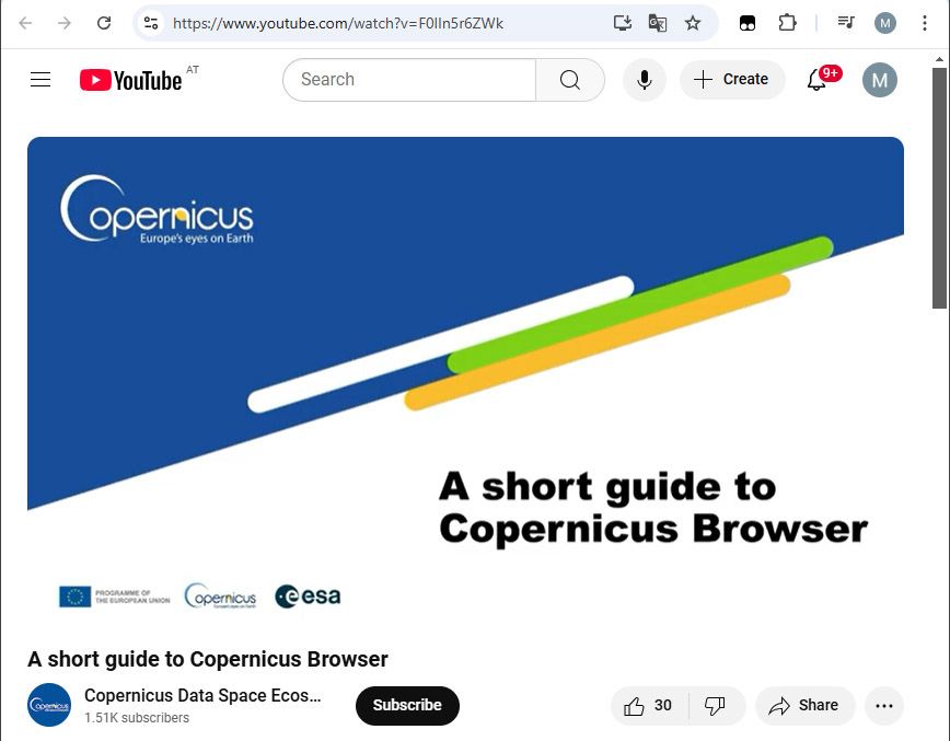
A specific, short introduction describing the use of the Copernicus Browser for education is available via the Copernicus Dataspace Website and as a video from YouTube:
https://dataspace.copernicus.eu/news/2024-9-2-back-school-copernicus-browser-education
https://www.youtube.com/watch?v=F0lIn5r6ZWk
A webinar in a YouTube video (~50 min) titled “Teaching Geography with Satellite Imagery” gives an introduction into the use of Earth observation data in geography lessons. The webinar makes intensive use of Copernicus Browser:
https://www.youtube.com/watch?v=2FhDVkTL59A
If you have worked with the (no longer supported) EO Browser, you might find the following article interesting, which describes the transition from EO Browser to Copernicus Browser:
https://www.youtube.com/watch?v=2FhDVkTL59A
![]()
In addition to these sources, several national ESEROs provide online material or PDFs with Copernicus Browser tutorials in the respective languages.